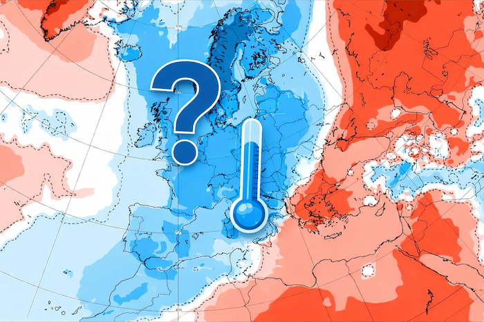
After a little lull last weekprecipitation is making a comeback in the capital, for the greatest pleasure of all its inhabitantsof course. After a bright sun last Friday and Saturday, the rain and the gray are backand unfortunately the situation is unlikely to improve with the passage of Hurricane Kirk.
The calm before the storm
Well, we hope you have took advantage of the few rays of sunshine and the semblance of heat this weekend, because we have bad news for you, it’s well and truly finished. For a few days, Hurricane Kirk is heading straight towards northern Europeand if he decides to keep the same trajectory, France and its capital will not be spared. According to Météo France forecasts, mist and grayness will be back todayand should stay with us for a few days.
🟥⚠ Attention, the future ex-hurricane #Kirk will be the phenomenon #weather report major of the week in #Franceespecially between Wednesday evening and Thursday. In addition to heavy rain, a very strong gale threatens. It remains to be seen its exact trajectory and its power! pic.twitter.com/FmPT1dPDnP
— Anthony Grillon 🌪 (@AnthoGrillon) October 6, 2024
As for the start of the week however, temperatures should be relatively mildsince they will remain above the 15°C mark, i.e. well above what we experienced a few days ago. Same thing for episodes of rain, which should be rather rare Monday and Tuesday. For the moment, the capital presents itself as a refuge from the rest of France, already threatened by the risk of violent storms. Unfortunately, this rest should be short-lived, and the weather could deteriorate from the middle of the week…
Kirk, Hurricane Captain
While the storm passes north of the Azores this Monday morning, it should, according to the latest forecasts, arrive above France next Wednesday October 9 and Thursday October 10bringing with it, according to La Chaîne Météo, « heavy rain and a strong gale ». Par « strong gust of wind », on entend gusts over 130 km/h on the coasts, and 100 km/h inland. All accompanied by a few stormsobviously.
Confirmation of the influence of Hurricane Kirk on western Europe in the middle of next week.
Kirk is expected to make its extratropical transition (taken over by a vast Atlantic trough) on Monday or the following night and therefore lose its tropical characteristics.
He should… pic.twitter.com/qU1hklmVjq— Keraunos (@KeraunosObs) October 5, 2024
And like good news never comes alonethe arrival of Hurricane Kirk also involves a drastic drop in temperatures, reaching a maximum of 13°C in Paris at the end of the week, Friday and Saturday. We just hope that the rain will have stopped by thenjust so as not to get stuck plague and cholera at the same time… In any case for this week, the instructions are simple: we go out covered, and we prefer the raincoat to the umbrellait’s more effective in windy conditions, according to Bretonne.


