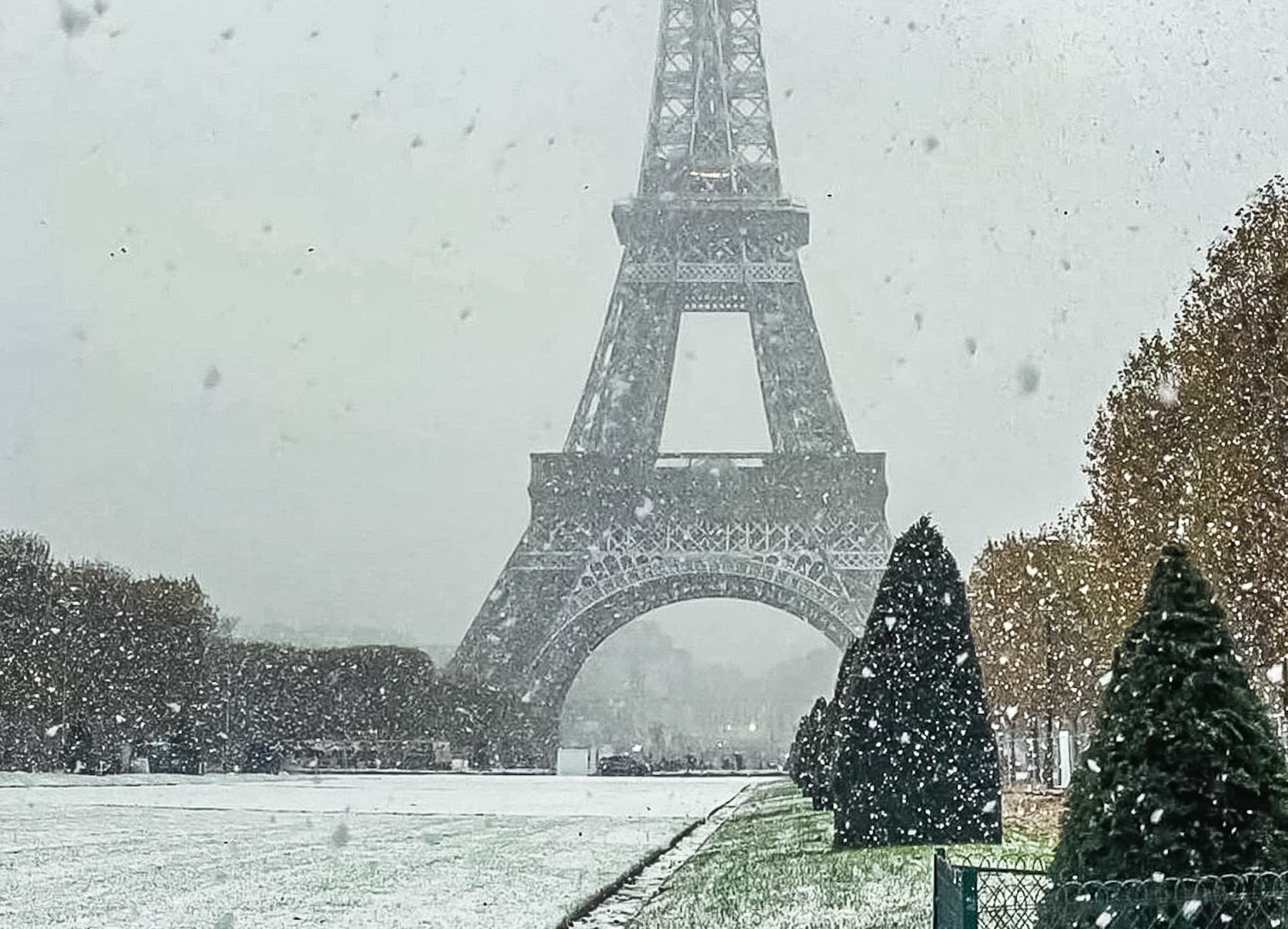
All of the Ile-de-France departments are placed on orange snow-ice alert by Météo-France this Saturday, November 22, 2025. Snowfall of up to 7 centimeters is expected overnight from Saturday to Sunday.
L’Île-de-France passes into orange snow-ice warning this Saturday, November 22, 2025. Weather France placed the eight Ile-de-France departments – Paris, Seine-et-Marne, Yvelines, Essonne, Hauts-de-Seine, Seine-Saint-Denis, Val-de-Marne and Val-d’Oise – under this snow and ice alert which will start from 8 p.m. this Saturday until Sunday morning 8 a.m. This is the first snowy episode of the seasonwhich could well impact travel throughout the capital region.
Which departments are affected by orange vigilance?
After a frosty morning with temperatures dropping to -10°C in the Moselle plain, a rainy disturbance from the West will confront the cold air present in the region. During the evening of Saturday and during the night from Saturday to Sunday, the presence of cold air will favor snow precipitation. The ground resistance is expected with 5 to 7 centimeters in the western half of the Paris region and 2 to 5 centimeters in the eastern half. For Paris and the inner suburbs1 to 2 centimeters of snow on the ground are expected, according to forecasts from the meteorological agency.
How much snow is expected in Île-de-France?
The depression which is currently deepening over the British Isles will bring a disturbance which will progress towards the east over the hours. After a very cold morning with temperatures often between -3 and -7°C, the thermometer should hardly exceed 1 to 4°C in the afternoon. The soils, still very cold after this polar cold spell, will help the snow to hold as soon as the flakes begin to fall around 9 p.m. in the Paris region.
The forecast quantities vary depending on the sector: the western half of Île-de-France should receive between 5 and 7 centimeters of snow, while the eastern half will receive between 2 and 5 centimeters. For Paris and the inner suburbs, forecasts predict 1 to 2 centimeters on the ground. These quantities may change in the coming hours, the uncertainty being great depending on the weather models.
When does orange alert start and end?
Weather conditions are expected to become more complicated, particularly for motorists. The Minister of Transport, Philippe Tabarot, also warned that traffic would be complicated in several regions during the week-end. The vigilance orange begins this Saturday, November 22 at 8 p.m. and will last until Sunday morning 8 a.m. The first snowfall is expected from 9 p.m. in the Paris region.
Beyond Île-de-France, other territories will also be affected by this snowy period: Hauts-de-France, the Centre-Val-de-Loire region, Champagne-Ardenne, the west of Burgundy, the Massif Central and Limousin will also experience snowfall in the night. Motorists heading towards the Alps must be particularly vigilant, especially with the opening of the ski season this weekend in several renowned resorts such as Val-Thorens.
Is there a risk of icy conditions in addition to snow?
A risk of freezing rain is added to the equation. At the end of the night and at daybreak this Sunday morning, the mild weather will have progressed, with temperatures becoming positive again at altitude. Rain could then fall again, but risks freezing the frozen ground where temperatures will still be between 0 and -6°C on Sunday morning. Auvergne is also the subject of particular attention from Météo-France due to fairly widespread freezing rain. The Weather Channel even describes a cold atmosphere and often negative temperatures for the day on Saturday.
How long will this snowy episode last?
The good news is that this winter episode will be relatively brief. There snow expected to melt from midday Sunday thanks to a clear mild spell which will settle in the region. Temperatures will gradually rise, which should limit the risks linked to snow and ice at the start of next week. The passage of this disturbance will go hand in hand with an increase in temperatures behind.
What precautions should be taken when traveling?
THE Ile-de-France residents are advised to exercise the greatest caution when traveling. If you have to take the road, find out the road conditions and use public transport when possible. Bring hot drinks, warm clothes, blankets and your charged cell phone in case you need to travel. Pedestrians and cyclists must also be extra vigilant regarding the risk of falls linked to ice.
To follow the evolution of the situation in real time, consult regularly the weather alert card from Météo-France which is updated several times a day. In the event of heavy snow, residents, owners and tenants are required to clear the sidewalk in front of their homes along the entire length of the facade.
In short, if you are looking for a good plan to stay warm This weekend is the time to enjoy the Ile-de-France museums, cozy cafes and cocooning restaurants of the region or sit in a café near the fire. L’winter knocks on the door of Île-de-France with its share of meteorological surprises!


