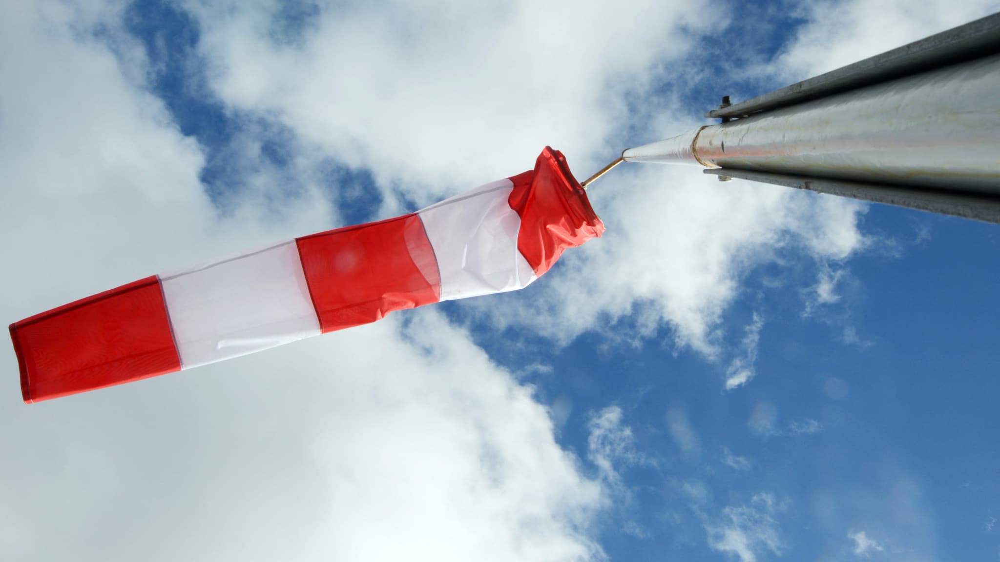
Storm Nils arrives in France from the Atlantic this Wednesday. Strong winds are expected in the south and especially over Corsica.
France affected by severe bad weather this week. While 14 departments are placed on orange alert for floods or rain-flooding this Wednesday, February 11, a new depression from the Atlantic, named Nils, is arriving in the country. Until at least Thursday, it will cause strong winds, particularly in the south.
“Wednesday evening, the storm named Nils approaches the Atlantic coast. During the night from Wednesday to Thursday, gusts can reach up to 120 to 140 km/h on the Aquitaine and Charente coast, 100 to 110 km/h in the South-West lands”, warns Météo-France on his site.
Gusts at 150 km/h in Corsica
On Thursday, the wind will continue to sweep the West and the South-West before spreading during the day “to the entire Mediterranean rim and to Corsica”.
Gusts of 120 to 140 km/h are expected in the Aude plains, on the heights of Hérault and Lozère. On the terrain of the Southern Alps, the Provençal hinterland and the Alpes-Maritimes, gusts will reach 100 to 120 km/h.
But it is in Corsica that the situation will be most critical. The wind will blow “violently on the extremities and the relief and the eastern part of the island, with gusts reaching 130 to 150 km/h in places”, indicates Météo-France, which has placed the entire island on orange alert from this Wednesday.
“With the heavy rains for several weeks, vegetation and soils are waterlogged. Trees and infrastructure can thus be weakened and more vulnerable to the wind,” Météo-France also warns. “These conditions also give rise to very rough seas. The western coast of Corsica is exposed to a significant danger of waves-submersion“, specifies the weather agency.
In the mountains, “rainy and windy conditions” associated with heavy snowfall will increase the risk of avalanches in the Alps, the Pyrenees and the terrain of Corsica.


