The director of the National Weather Service emphasized that there will be a definite picture with updated data late Friday night and early Saturday morning, but the forecast models so far show more intense and longer-lasting effects.
Weather: More intense phenomena with a longer duration on Saturday
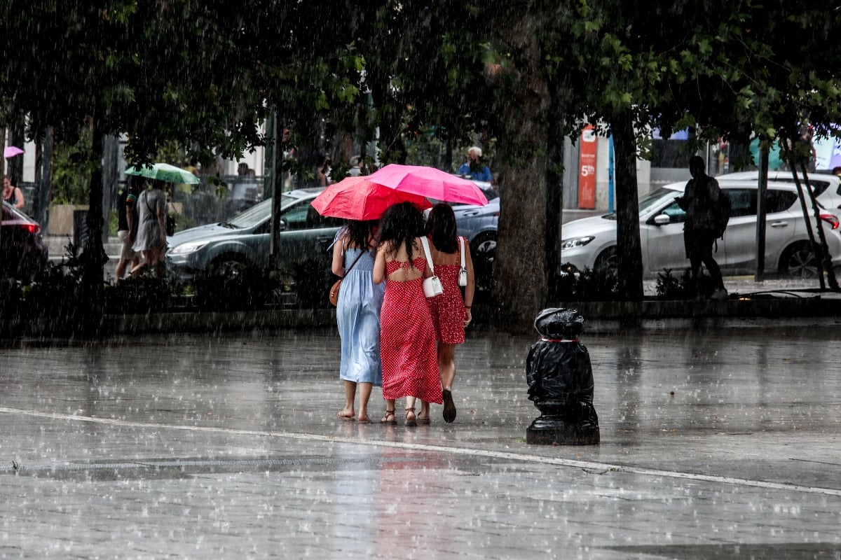
According to the latest forecasts, rains and storms will occur on Saturday mainly at noon and in the afternoon, which will be strong and last longer than Friday, in Attica and central Sterea.
As Mr. Kolydas mentioned, the phenomena will weaken from Saturday night.
Weather: Detailed forecast for the whole country
Locally heavy rains and storms are forecast from the morning hours and intermittently in the Sporades, Evia and possibly in Thessaly and in the midday and afternoon hours in the Peloponnese, Sterea (including Attica) and in places in Epirus and Macedonia (mainly the central and eastern).
The phenomena will be accompanied by a high frequency of lightning and local hailstorms and temporarily by very strong winds (gallons).
In the Sporades, Evia and possibly in Thessaly, unsettled weather with rains and storms, strong in places, which will be accompanied by a high frequency of lightning and local hail.
In the rest of the country initially local clouds in central and eastern Macedonia, Thrace, Sterea and the southern Ionian where there will be local rains and possibly isolated storms and from the midday hours increased clouds in the rest of the mainland and Crete where there will be local rains or rains, while sporadic storms will occur in continental areas.
In the Peloponnese, Sterea (including Attica) and in places in Epirus and Macedonia (mainly central and eastern) the effects will be strong in places. Improvement is expected in the evening hours in most areas.
Winds will blow from north directions 3 to 4, in the Aegean 4 to 5, locally in the east 6 Beaufort. In the areas where the strong phenomena will manifest, the winds will be very strong in places (burinia).
The temperature will drop slightly and reach 30 to 32 degrees in the mainland, the Ionian, the Dodecanese and Crete, and in places in the eastern mainland 33 degrees and in the rest of the island country 28 to 30 degrees Celsius.
MACEDONIA, THRACE
Weather: A few clouds temporarily increased with local rains and sporadic storms initially in central Macedonia and gradually in the rest of the regions. The phenomena in the midday and afternoon hours will be strong in places, mainly in central and eastern Macedonia. Improvement in the evening hours.
Winds: Northerly 3 to 4 and east local 5 Beaufort.
Temperature: From 18 to 30 degrees Celsius. In western Macedonia 2 to 3 degrees lower.
IONIAN ISLANDS, EPIROS, WEST STEREA, WEST PELOPONNISOS
Weather: Initially in the southern Ionian and gradually in the rest of the regions clouds temporarily increased with local rains and sporadic storms. The effects in the midday and afternoon hours will be strong in western Sterea, western Peloponnese and temporarily in Epirus. Improvement, except for the southern Ionian, in the evening hours.
Winds: Variable 3 to 4 Beaufort and in the Ionian from northerly directions with the same intensity.
Temperature: From 20 to 32 degrees Celsius. In the interior of Epirus 2 to 3 degrees lower.
EASTERN STEREA, EVIA, EASTERN PELOPONNISOS
Weather: In Evia a few clouds temporarily increasing with local rains and occasional strong storms. In the rest of the areas a few clouds temporarily increased with local rains and in the midday and afternoon hours sporadic storms strong in places. Improvement in the evening hours.
Winds: Variable 3 to 4 Beaufort and gradually to the east north northeast with the same intensity.
Temperature: From 20 to 32 degrees Celsius.
CYCLADES, CRETE
Weather: In the Cyclades, a few clouds temporarily increased with the possibility of local rains or isolated storms in the west. In Crete a few clouds temporarily increased with local rains and in the midday and afternoon hours isolated storms mainly in the mountains.
Winds: North-west 3 to 5 and in the east temporary local 6 Beaufort.
Temperature: From 22 to 30 and in southern Crete up to 32 degrees Celsius.
EAST AEGEAN ISLANDS – DODECANISE
Weather: Generally sunny in the Dodecanese. In the islands of the eastern Aegean, a few clouds temporarily increased in the midday and afternoon hours, where local showers or isolated storms may occur.
Winds: North northwest 4 to 5 locally 6 Beaufort.
Temperature: From 22 to 32 degrees Celsius.
THESSALY
Weather: A few clouds temporarily increased with local rain and sporadic storms at intervals strong in the Sporades and possibly in Thessaly during the midday and afternoon hours. Improvement in the evening hours in Thessaly.
Winds: Variable 3 to 4 Beaufort and gradually to the east north northwest with the same intensity.
Temperature: From 19 to 33 degrees and in the Sporades up to 29 degrees Celsius.
ATTICA
Weather: A few clouds temporarily increased with local rain and sporadic thunderstorms in the midday and afternoon hours, which will be strong in places.
Winds: Variable 3 to 4 Beaufort and gradually north-northeasterly at the same intensity.
Temperature: From 22 to 30 degrees Celsius.
THESSALONIKI
Weather: A few clouds temporarily increased with local rains and sporadic storms, which in the midday and afternoon hours will be strong in places. Improvement in the evening hours.
Winds: Variable 3 to 4 Beaufort.
Temperature: From 19 to 29 degrees Celsius.
Dead fish in Pagasitikos: Volos is in a state of emergency for a month – The danger that lurks at the bottom
Kavala: Alarm at the port – The sailing of the “Diagoras” ship was prohibited, anxiety for 923 passengers
Myrto Papadomichelakis: Administrative sanctions on the ship’s governor – The girl’s mother broke out [βίντεο]
#stronger #wave #bad #weather #suffocate #Attica


